GIS & Geospatial Solutions

Harnessing geospatial data and mapping technology to drive evidence-based planning and infrastructure development.
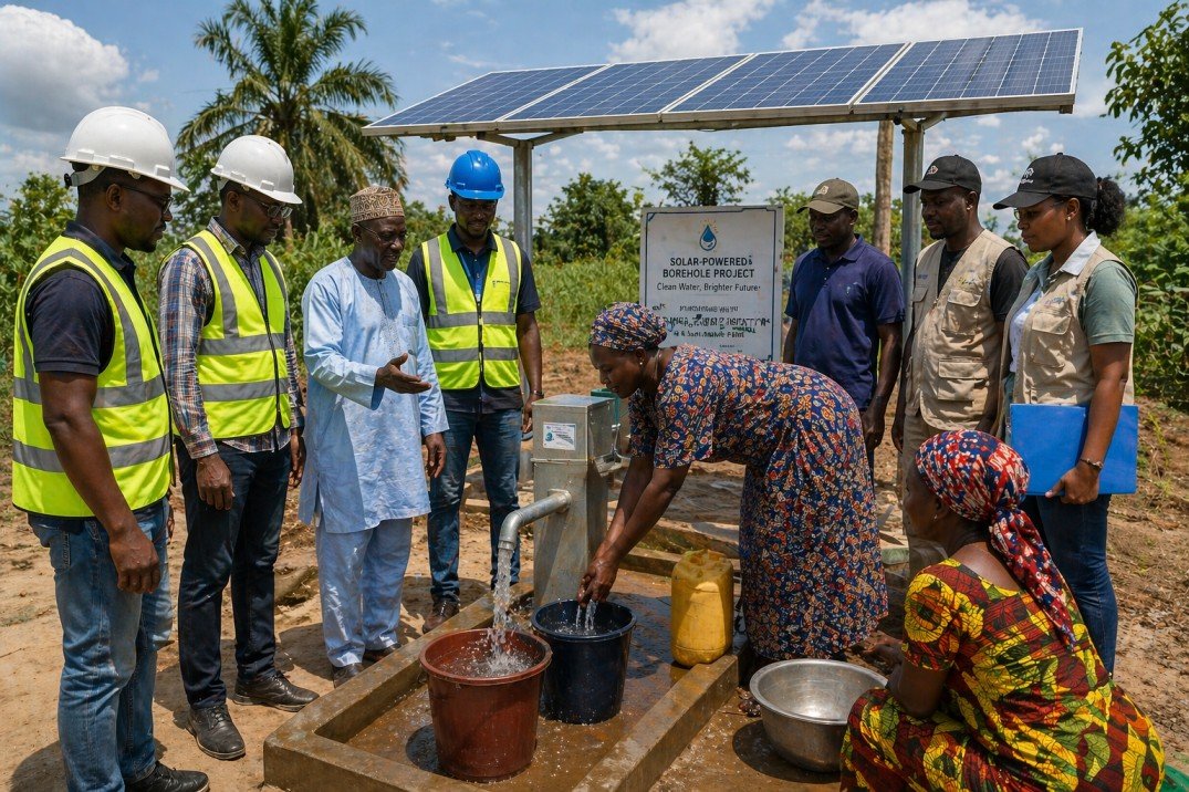
AOGlobal delivers GIS-based solutions that help governments and development agencies map assets, plan infrastructure, and monitor project implementation. Our geospatial work combines field data collection, satellite imagery analysis, and interactive mapping platforms.
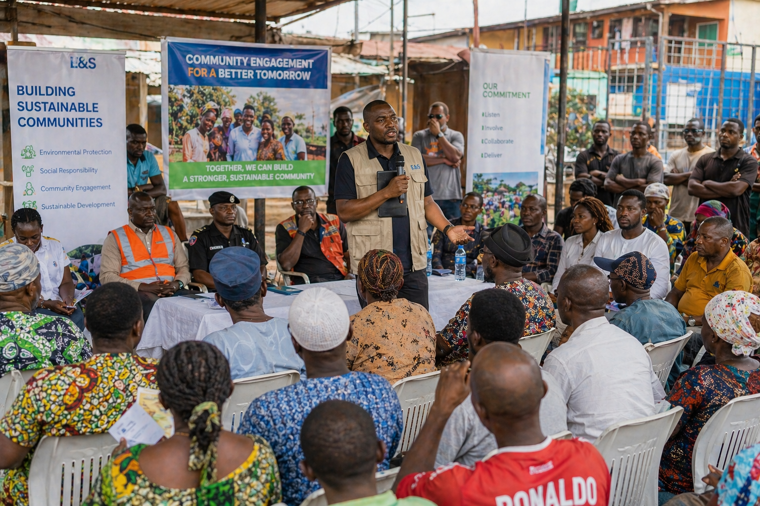
Projects include GIS-driven water point mapping in Lagos, sensitization of engineering firms on GIS application under SURE-P, and internship programmes that build a new generation of Nigerian GIS professionals.
- GIS data collection, processing, and mapping
- Infrastructure and utility asset mapping
- Geospatial database development
- GIS training and sensitization for public and private sector stakeholders